File:Pivot.png


Size of this preview: 800 × 478 pixels. Other resolution: 1,266 × 757 pixels.
Original file (1,266 × 757 pixels, file size: 359 KB, MIME type: image/png)
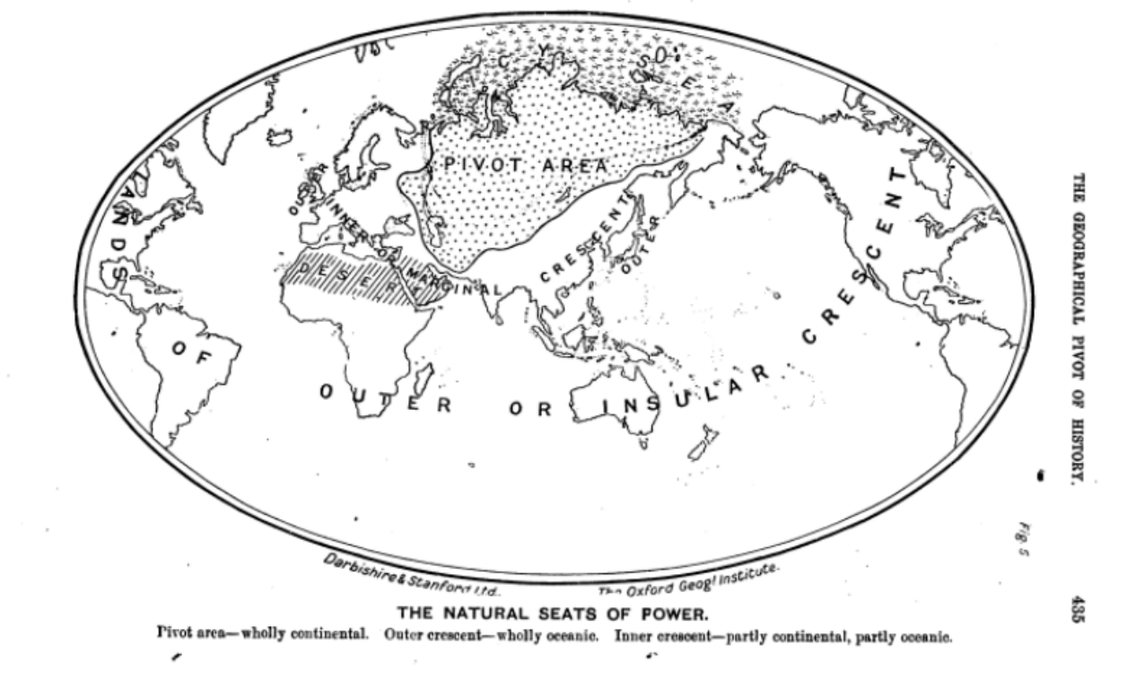
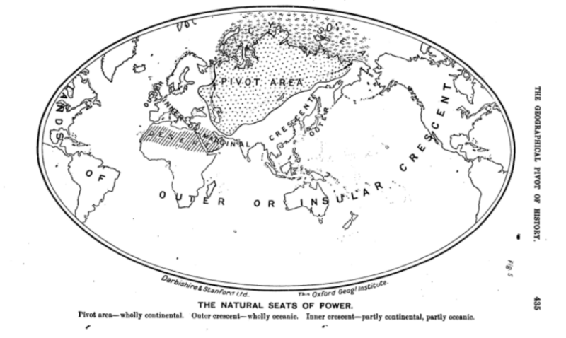
Mackinder's geopolitical map, showing the pivot area from which waves of horsemen have issued time and again, the ring of civilization which have trembled in their wake, and the outer ring brought into the geopolitical balance by the advent of (Atlantic) naval power.
File history
Click on a date/time to view the file as it appeared at that time.
| Date/Time | Thumbnail | Dimensions | User | Comment | |
|---|---|---|---|---|---|
| current | 23:00, 6 August 2026 | | 1,266 × 757 (359 KB) | Maintenance script (talk | contribs) | == Summary == Importing file |
You cannot overwrite this file.
File usage
The following page uses this file:
